Above picture: Valentine in Soysambu Conservancy 2017 copyright Kat Combes
Both Flir and Valentine May 23 2017 when they came out of the dens in Soysambu Conservancy 2017 copyright Kat Combes
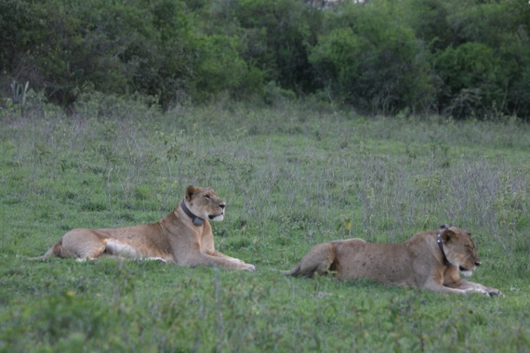
“Three lionesses turned up one day from Nakuru National Park,” tells Kat Combes of Soysambu Conservancy that straddles Lake Elmenteita. It was in July 2014.
The trio were three years old looking for their own space. Two sisters settled in but the third returned to the park separated by a wire fence.
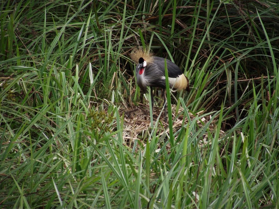
Above: Grey Crowned Crane on its nest Copyright: International Crane Foundation / Endangered Wildlife Trust Partnership
The only big lake in central Kenya is one of the last strong hold of the gorgeous Grey Crowned Crane
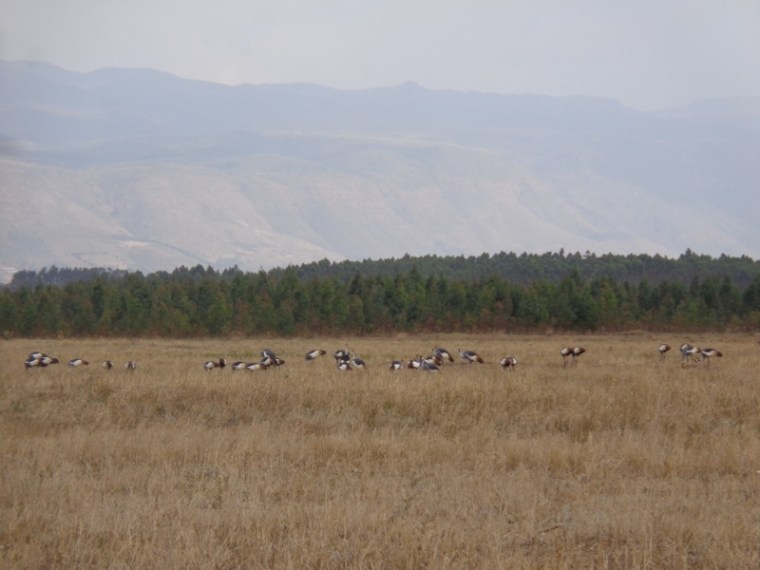
Flock of Grey crowned cranes by Lake Ol Bolossat in the shadows of the Aberdares in central Kenya Copyright Rupi Mangat
It’s busy, busy, busy with 500 Grey Crowned Cranes in front of us pecking for grains on the recently harvested wheat field by the shores of Lake Ol Bolossat stretched in the shadows of the Aberdares.
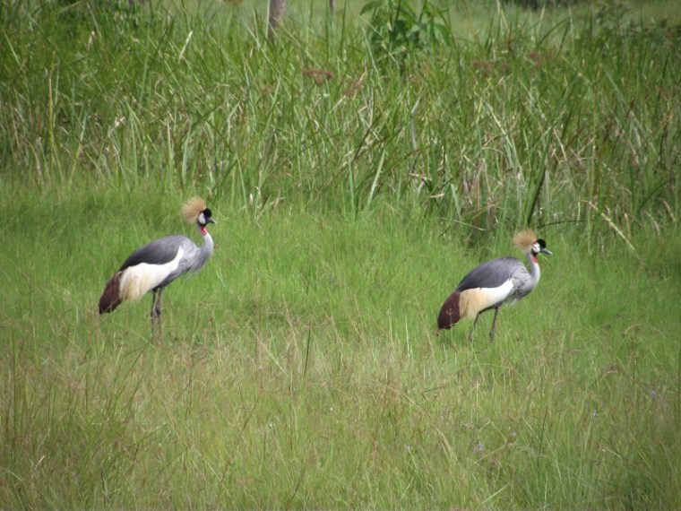
Grey Crowned Cranes pair for life Courtesy: International Crane Foundation / Endangered Wildlife Trust Partnership
“The Grey Crowned cranes are here all the time,” tells George Ndung’u, founder of the Nyahururu Bird Club, Olbolossat Biodiversity Conservation Group and of recent, the Crane Conservation Volunteers.
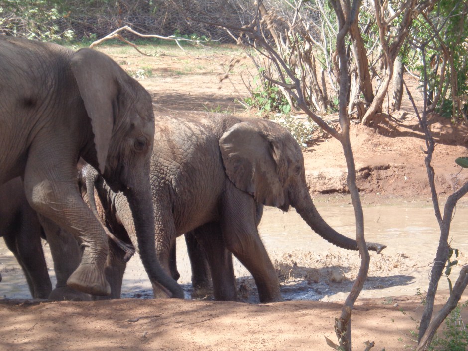
In Kenya’s Northern rangelands it’s home to amazing wildlife
Published Saturday magazine, Nation newspaper 10 June 2017
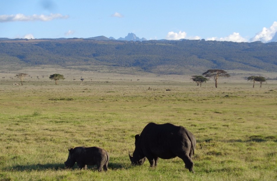
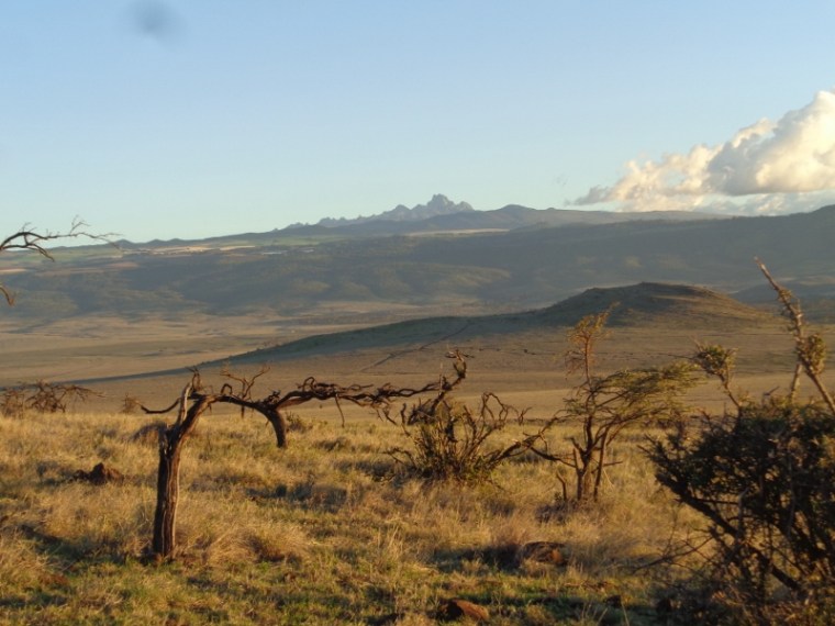
Above: Southrern white rhino female and her calf at Lewa Conservancy with Mount Kenya as a backdrop – Copyright Rupi Mangat
From the high peaks of Mount Kenya to the plains at Lewa -copyright Rupi Mangat
From the high slopes of Mount Kenya, the northern rangelands fill the horizon with massif peaks and plains. Driving over the under pass on the main road before turning in to Lewa and Isiolo, elephants walk through it safely migrating between the low arid plains of the north and the high slopes of Mount Kenya.
Published 3 June 2017 Saturday magazine Nation media
It’s a dream world.
We sail past a forest of the tallest mangrove trees that l’ve ever seen. Sparkling white sand bars appear in the low tide. It’s an endless blue planet from where we are when suddenly a dolphin slips in and out – too far to tell what species it is.
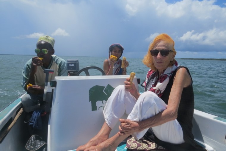
Captain Lalli, of Kenya Wildlife Service Maya Mangat and Kiki Aarts of Subira House Lamu – picnic at sea sailing to Pate island Copyright Maya Mangat
Towards midday Captain Lalli stops to refuel the tank and produces delicious, juicy mangoes – an impromptu picnic on the ocean.
Sailing on, he points to Faza, then Ndau – once powerful and independent sultanates on the island of Pate. We pass a Kenya Navy patrol dinghy and then get off at Mtangawanda, a tiny ‘port’ so named because it has black sand on its shores.
Landing at Mwangawanda (the place of black soil) to catch matatu to Pate village on Pate island Copyright Maya Mangat
Sailing through a storm on Indian Ocean to Pate island Copyright Maya Mangat
Fisherman on Pate island Copyright Rupi Mangat
Fresh catch of the day on Pate island Copyright Maya Mangat
Fresh catch of the day on Pate island Copyright Maya Mangat
Safaricom Marathoners support Kenya’s rugged northern-scape
Published In The East African,Nation media 20-26 May 2017
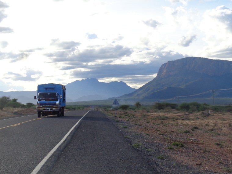
The iconic loaf-shaped mountain Ololokwe, and the Warges of the Mathews Range behind – a high peak at 8,000 feet high above the plains. Tthe local Samburu call Mathews Range Ol-doinyo Lenkiyieu It stretches 80 kilometers north copyright Rupi Mangat
From the high glades of Mount Kenya down to the flatlands of Samburu, past the Ewaso Nyiro River that is the life-lung of the arid lands and the iconic loaf-shaped mountain Ololokwe, a high peak pops 8,000 feet high above the plains. It’s the Warges of the Mathews Range that the local Samburu call Ol-doinyo Lenkiyieu stretching 80 kilometers north.

")
")
")
")
")