Published: Saturday Magazine, Nation newspaper 17 March 2018
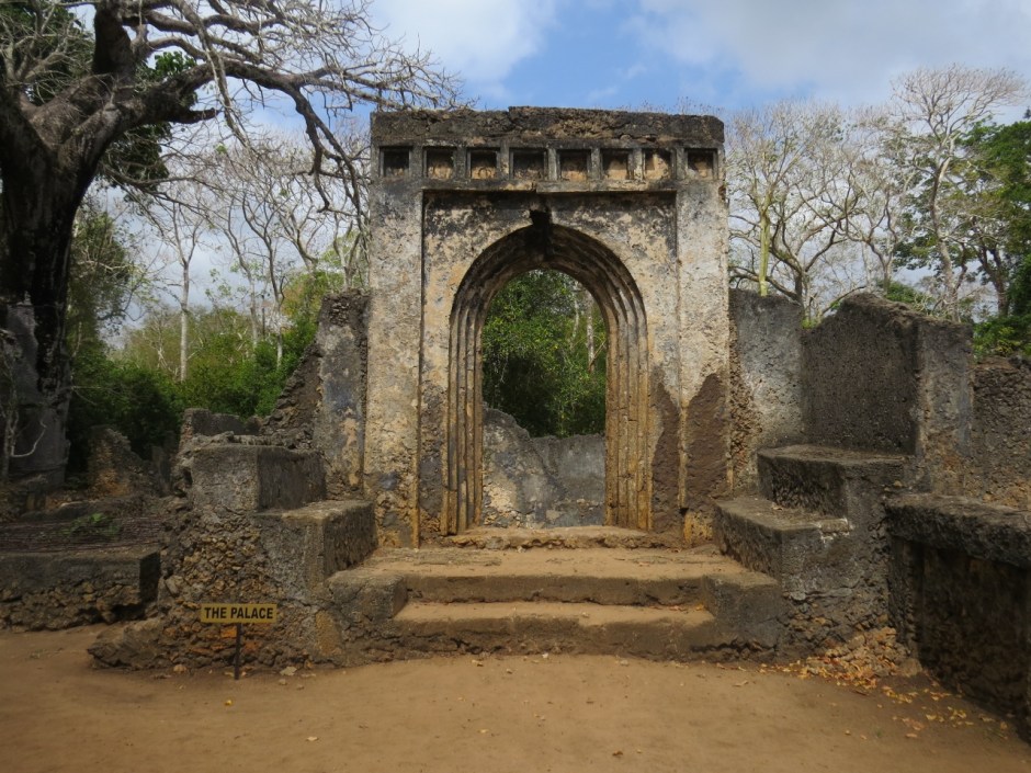
Above: The Palace in Gedi Copyright Rupi Mangat
In the eventide, a skein of white wings glide over the blue of Watamu Bay to settle on the huge jagged Hemingway rock. Curious, l zoom in on the birds that appear as dots with the naked eye, l get my shots and send them to the birders.
Grey Plovers (Pluvialis squatarola) that breed in the Arctic Circle at Watamu bay February 2018 – flying in to breed here after a flight of 7000 km Copyright Rupi Mangat
Published:Saturday magazine Nation newspaper 10 March 2018
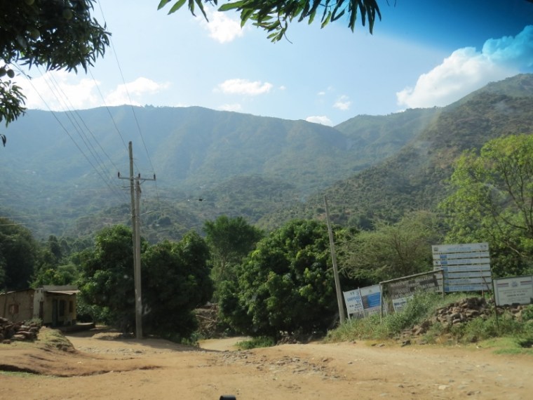
The water furrows rush down the Cherangani Hills ay Arror Copyright Rupi Mangat
Water gushes down the hills of the Cheranganis at Arror. It’s picturesque in the setting sun with the village kids escorting us to the centuries-old furrows that were dug by their ancestors for fresh water to reach the dry plains.
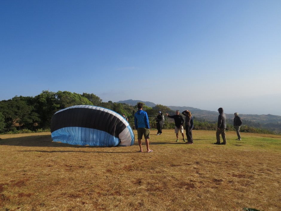
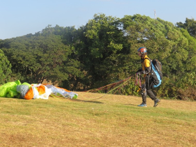
Above: Paragliders on Elgeyo Marakwet escarpment getting ready to take off.
Copyright Rupi Mangat
Published: Saturday magazine, Nation newspaper 17 February 2018
The sun appears from the eastern sky over the Tugen Hills with the valley straddled between it and the Elgeyo-Marakwet escarpment. A strong wind brews and a group of paragliders ready themselves for the skies.
Paraglider on Elgeyo Marakwet escarpment getting ready to take off. Copyright Rupi Mangat
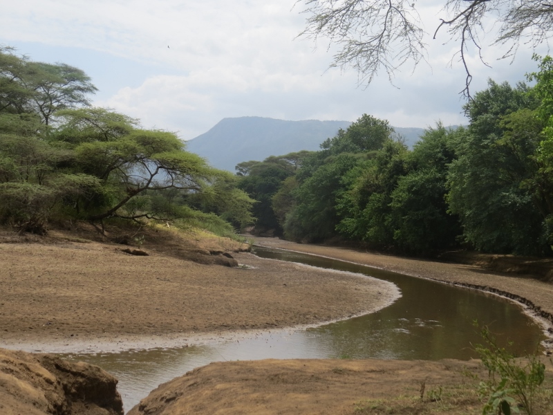
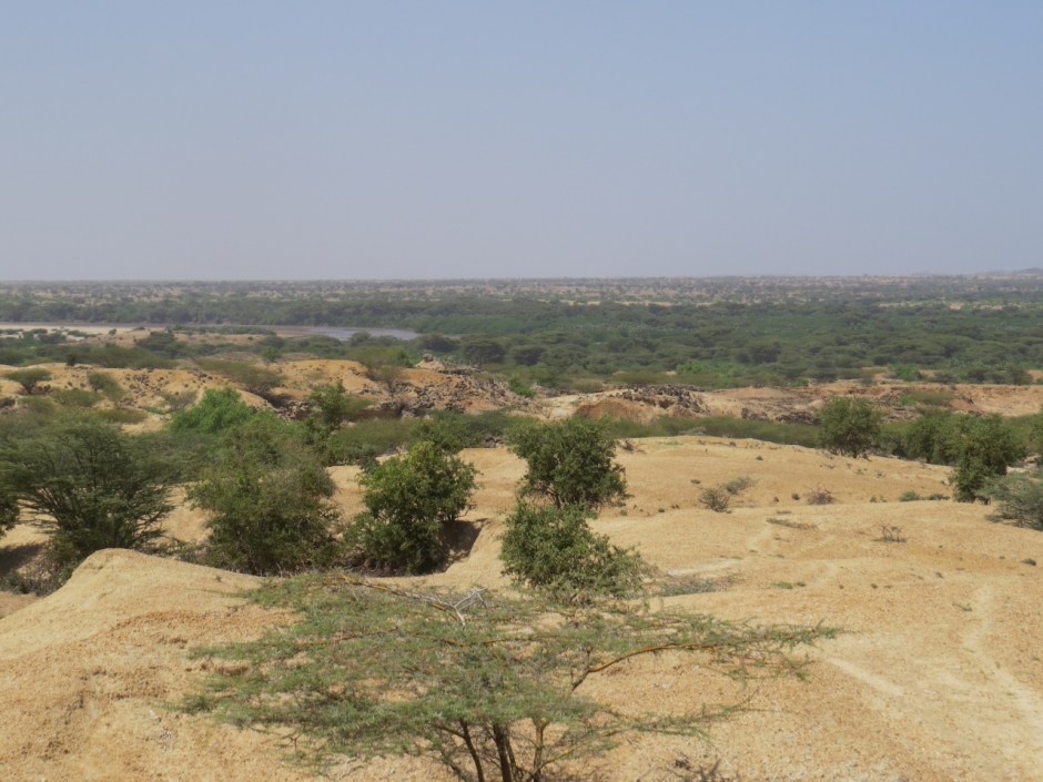
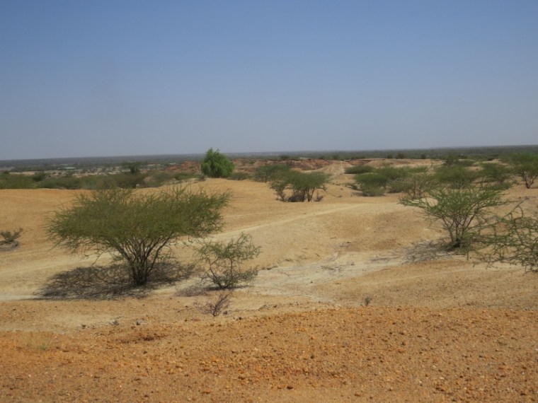
Above: The anicent earth of Turkana by the Turkwel River flowiing into Lake Turkana
Copyright Rupi Mangat
Published: 3 February 2018 Saturday magazine, Nation newspaper
Eagle’s eye-view of Turkana Basin Copyright Rupi Mangat
The eagle’s eye-view from the air is fascinating – vast horizons of sand, thorn trees, plains and hills. Closer to landing time at Lodwar, l scan the hills of Lothagam with their ancient sediments dating seven million years before present – when this part of the world was the home of dinosaurs like carnivorous theropods, herbivorous sauropods, and flying pterosaurs that lived many more millions of years than seven.